About this video
What Is a 3D Printable Landscape Map?
A 3D printable landscape map is a physical relief model of a real geographic area. Instead of looking at a flat paper map, you hold a tangible object where mountains rise, valleys dip, and coastlines curve. These custom terrain maps are popular as personalized gifts, wedding centerpieces, and home décor—and they sell consistently well in the 3D printing market.
How PrintPal's Map Generator Works
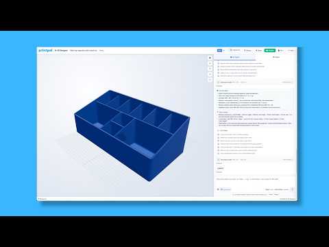
The video shows a simple workflow that requires zero design experience:
- Select the region — Drag a box over any city, national park, or coastline you want to model.
- Adjust the settings — Customize height exaggeration, base thickness, and framing based on the customer's order.
- Download the file — Export a print-ready STL or 3MF directly from PrintPal.
- Print and finish — Send the file to your 3D printer, then add paint, wood stain, or a name plate for a premium look.
Why Custom Maps Sell Out
Personalized products outperform generic ones for two reasons. First, buyers connect emotionally with a place that matters to them—a hometown, a proposal spot, or a favorite hiking trail. Second, each map is unique, so it cannot be price-compared against mass-produced décor. Adding a heart marker over a meaningful location, as shown in the video, turns a nice gift into a memorable one.
Tips for Selling 3D Printed Maps
- Offer multiple sizes (small desk models, large wall pieces) to fit different budgets.
- Use matte PLA or wood-fill filament for a natural, gift-ready finish.
- Photograph finished maps in lifestyle settings to boost conversion on Etsy, Shopify, or Instagram.
- Price based on print time, material, and customization—not just filament cost.
Frequently Asked Questions
Do I need CAD skills to make a 3D map?
No. PrintPal's map generator handles the terrain modeling automatically, so anyone can produce a printable file.
What filament works best for terrain maps?
Matte PLA, wood-PLA, and silk PLA all produce excellent results. Wood-fill filament is especially popular because it mimics traditional carved relief maps.
Can I print a map of any location?
Yes. As long as elevation data exists for the region, the generator can render mountains, valleys, and water features for almost any place on Earth.
How long does a map take to print?
Depending on size and layer height, most custom maps print in 4–12 hours on a standard FDM printer.